
The growth of digitization and the GPS-functions of mobile devices offer the possibilities to make cities playable and experience them in a whole different way. Also it is a possibility to shape the city without changing it in real life. The aim of the project was to represent Grass’ work in a playful and entertaining way and let the user experience Gdansk differently at the same time.
Concept and Design
Günter Grass was a very distinctive person. He is famous as a writer, but was also sculptor and painter. Aim was to filter all his work and convey it in a multimedia way by connecting it with the real surroundings. Here it was very helpful to have a Günter-Grass-expert joining our team, who knows about his complex work and the person.
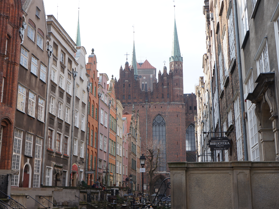
Our first step was to work through Grass’ “Danzig Trilogy”. Here he describes several places in Gdansk. The novel “Dog Years” was for this project the main inspiration. Also we read many articles and interviews with or about Günter Grass to familiarize with this theme. After this first investigation we meet with the whole team in Gdansk to discover the city and to work out first concept ideas.
Outgoing from Grass’ “Danzig Trilogy“, we set eleven stations in the city. We wanted to develop a tour that takes about an hour. Inspired by the novel “Dog Years” and Grass’ drawings we decided to make a dog the main character. He is your guide on the tour and tells you the right way. Also the dog was a good possibility to show certain perceptions. When a quotation was talking about the smell of fire, an illustration with the dog smelling it could increase the message.
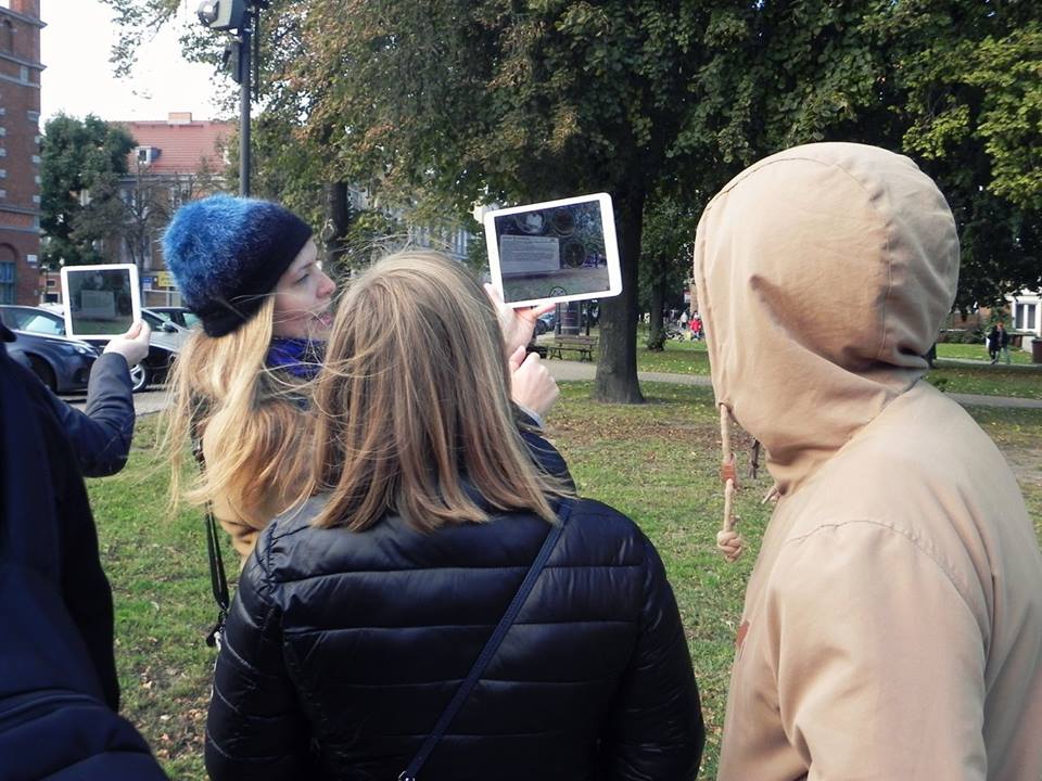
Starting point is the Günter-Grass-Gallery. Here you can download the app or borrow a tablet with the device on it. When you start the app, the dog is sleeping in a corner in the gallery. You have to wake him to start the tour. Then the dog guides you to the certain places. On the city map he is always going about twenty meters in front of the user to show the right way and leaves little footprints behind. When you reach the certain place the augmented reality function appears.
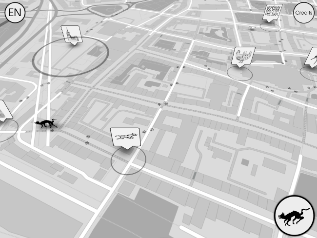
Every station is designed in a special way using illustrations, photos, quotations and sound recordings. The illustrations are inspired by the drawings of Günter Grass, which also hang in the gallery. For all the extra information, we worked with institutions based in Gdansk. For example when we needed recordings from a choir, we collaborated with the main choir of the city. Another example for a good collaboration is the station where Grass describes the amber market. Here we placed photos of a sculpture made of amber, which was made by a contemporary local artist. Therefore the app expands a net with other cultural institutions in the city.

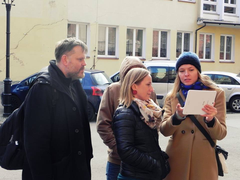
First tests with outstanding people of different ages showed that the usability is easy and self explaining. The app manages to work without many descriptions, by using mostly symbols. When a button is lightning up, the user knows intuitively, that he has to push it.
Technical Implementation
The G:RASS application was developed as a mobile app for the Android operating system. The system was implemented with the Unity3D version 5.4 game engine, because it provides easy integration for multiple deployment platforms and fast prototyping possibilities. Due to the limited possibility of continual presence at the location the use of Unity3D also facilitated the remote testing and development directly on Windows computer.
Usually an AR-plugin is used for recognizing images or object markers and aligning virtual content with real-world markers which are captured through the camera of the device. However, the marker-based AR tracking was not possible in this case because of the changing light situation during its outdoor use. Instead of marker-based augmented reality the solution was to use the GPS-location based positioning by using GPS data to approximate the world position of the device. For remote testing purposes a fake GPS data was used.
At Key-Locations in Gdansk the content aligns according to the cardinal directions (N,E,S,W). A multiplatform plugin GyroDroid was used to provide sensor fusion on android devices. So far Unity has a built-in support only for a few sensors on Android mobiles. This package provides access to every single sensor of the Android device and helps in reducing device and orientation inconsistencies.
Summary and Conclusion
This paper described the design and development of G:RASS, an augmented reality app, with the aim to show Gdansk from Grass’ point of view. The application shows that his work isn’t bound to the medium of a book and can live on and develop by using different media. Therefore it can be easier available for young users, tourists or people who want to discover his work in another way. The work shows that the augmented reality function offers a perfect way to layer other information on the real surroundings. The user doesn’t have to chose, if he should concentrate on his surroundings or the information on the phone, because it is combined. Literature which describes different places can revive by using this technology.


Credits and Info
G:RASS: OCT2016
Contact: Michael Bertram, Christian Mayer, Anastasia Treskunov , Christoph Vogel
Poland: Piotr Wyrzykowski, Andrzej Fac
Coordination: Marta Wróblewska
Quotations: © Steidl Verlag, Göttingen, Germany
Sound: Jacek Puchalski
Readers: Tadeusz Wolański, Wojciech Siółkowski, Piotr Michalski
Music piece: In nativitate by Andreas Hakenberger courtesy of the Polish Chamber Choir Schola Cantorum Gedanensis
Photos: the Günter Grass Association in Gdańsk, Agencja Vizualna, Piotr Połoczański (Małgorzata Żerwe, Untitled)
Co-financed by the Polish-German Cooperation Foundation and Creative Europe EU Programme (The People’s Smart Sculpture)